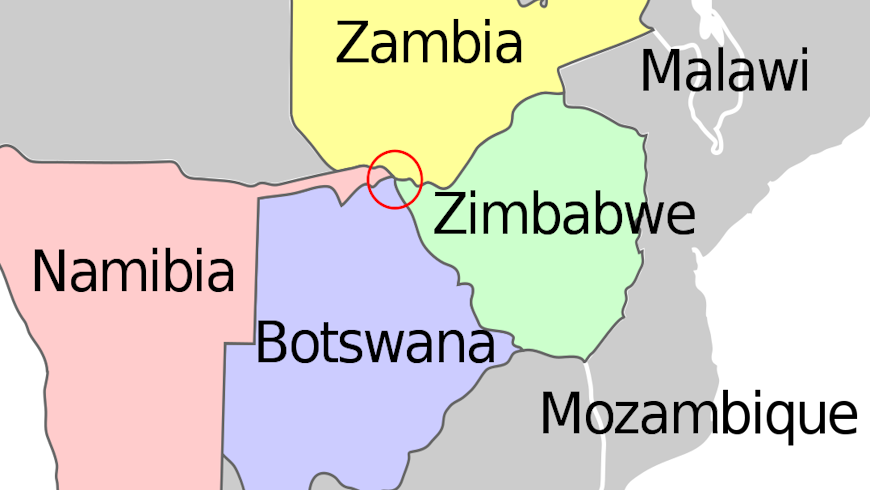
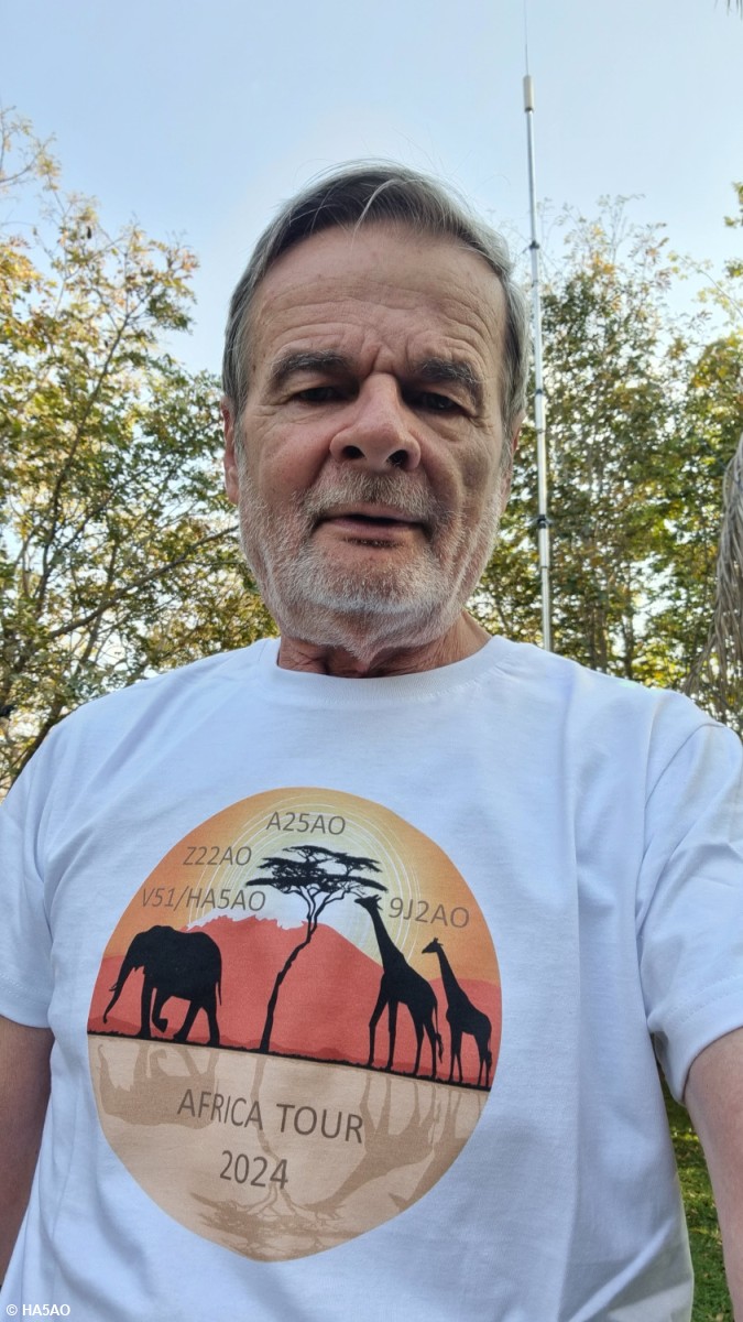
 When I started planning my next DXpedition to Africa, I wanted to find an unique place to celebrate the 50 years anniversary of my license. I found the common border of Zimbabwe, Zambia, Botswana and Namibia on the map.
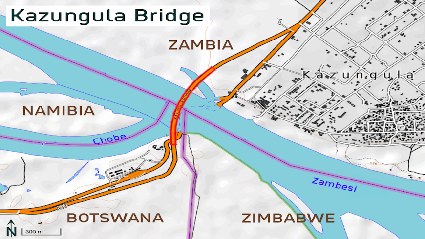
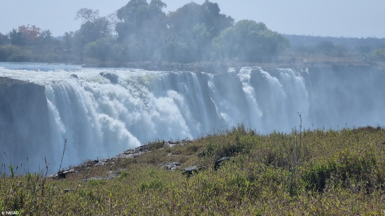
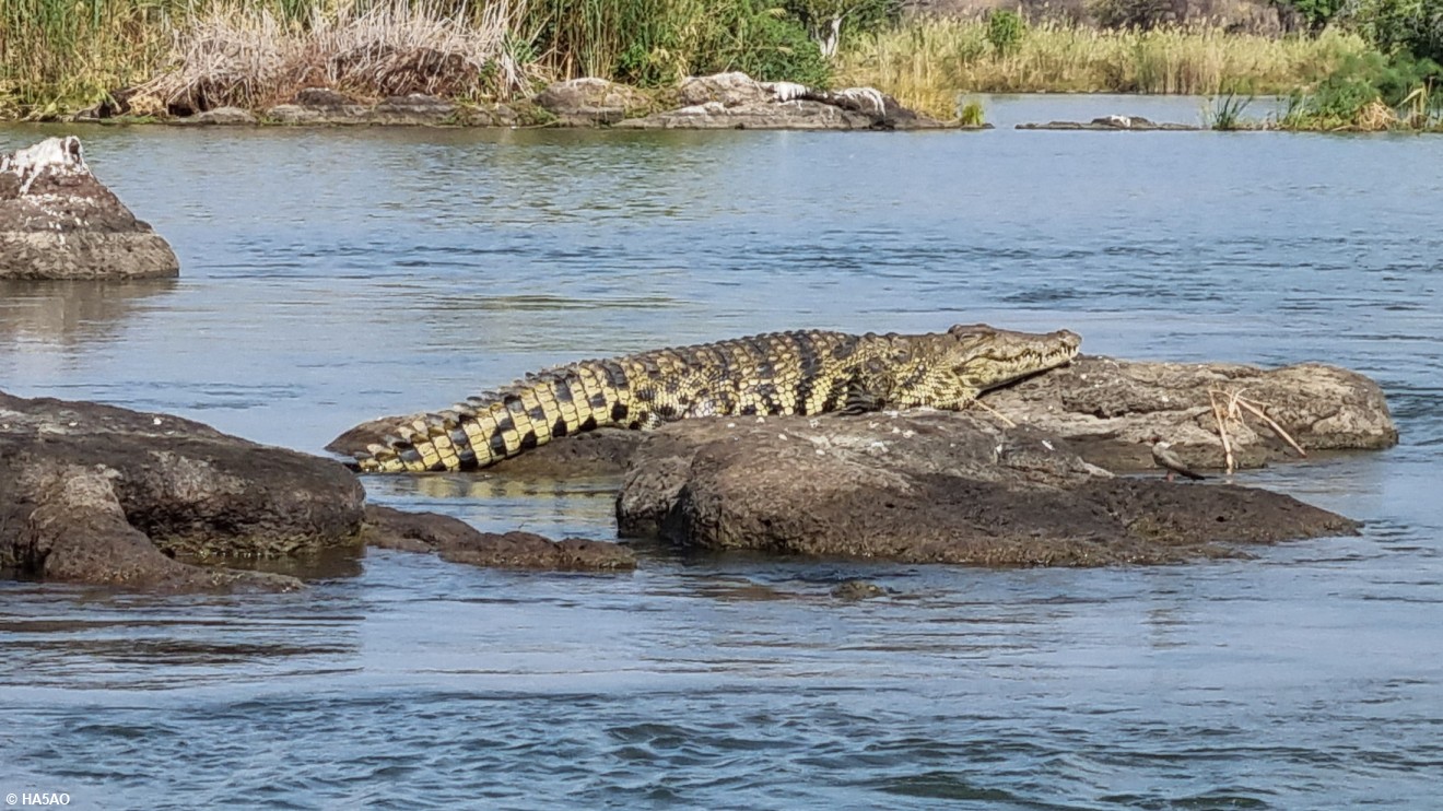
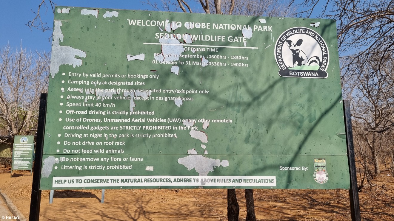
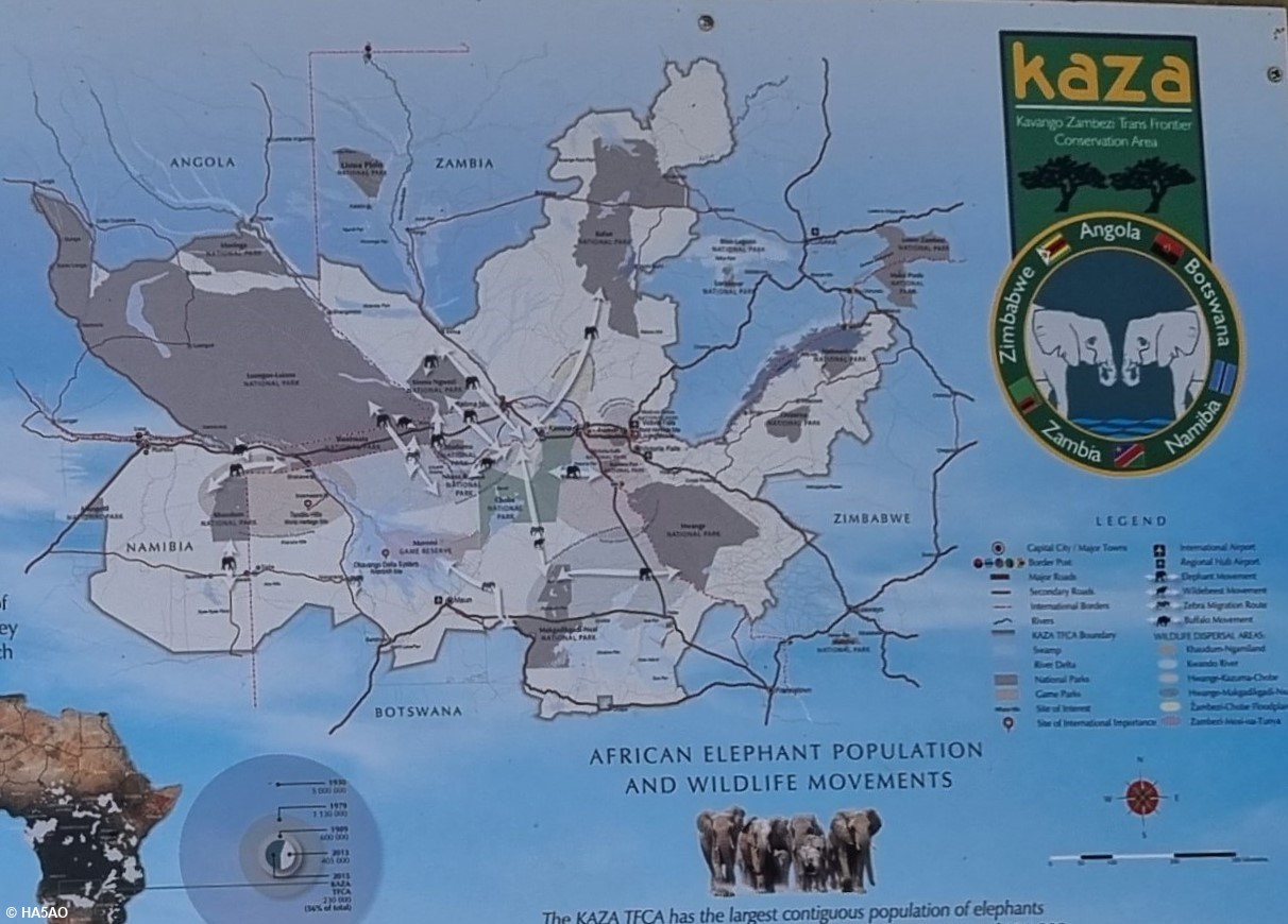
This is the only International Quadripoint in the World. Kazungula is a small border town at Zambia. The Kazungula bridge over the Zambezi river links two countries, Zambia and Botswana, but diagonally there are two other countries, Zimbabwe and Namibia. The bridge was opened for traffic on 10 May 2021. Interesting information on Kazungula and on the bridge can be found at https://en.wikipedia.org/wiki/Kazungula .
There is a village at Botswana close to Kasane called also Kazungula. It lies on the south bank of the Chobe and Zambezi rivers. The border post between Zimbabwe and Botswana, 4.5 km (2.8 mi) (by road) south-east of Kazungula Bridge, is also called Kazungula. Kazungula links together these four African countries, Zimbabwe, Zambia, Botswana and Namibia.


